|
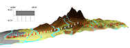
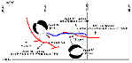
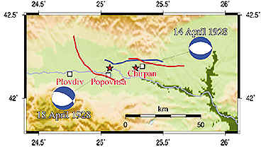
Surface
ruptures of the M6.8 Chirpan (April 14, 1928) and M7.0 Plovdiv (April
18, 1928) earthquakes are shown by thick red lines on the figure below (after
S. Bonchev and Bakalov, 1928). Redetermined surface rupture of the
Chirpan earthquake (G. Bonchev, 1931) is shown by thick blue line. The
epicenters of the two strong events are depicted by red stars. Fault
plane solutions are shown as equal-area lower-hemisphere projections.
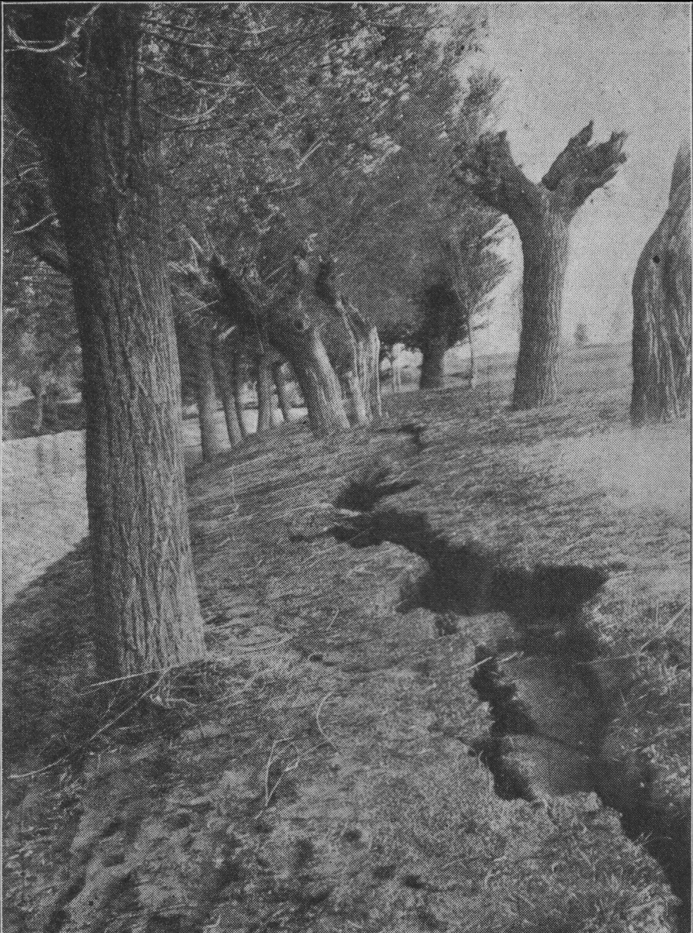
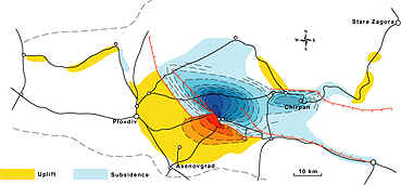
Levelling
networks were measured during 1923–1926. Changes of the surface after
the two earthquakes were established by new geodetic measurements in
1929–1930. The largest displacement was recorded along south rupture,
whereas displacement along northern rupture (April 14th) reached
0.3–0.5 m.
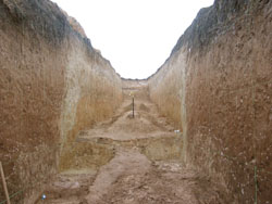
During
the 14 April earthquake two main parallel surface breaks formed,
trending 100–110oE
with a distance between them equal to 15 km (upper figure above). Both
were reported to have a throw of 0.3–0.4 m, down to the south and down
to the north, respectively (Bonchev and Bakalov, 1928). The continuous
south–dipping rupture had a 38–km length and an average 40 cm,
reaching a maximum of 50 cm in the middle (DIPOZE, 1931).
The
18 April earthquake generated a 53–km–long system of discontinuous
breaks, trending 120–160oE, with throws up to 1.5 m, and in one place even up to 3.5
m, down to the north
|